
01Two methods in the historical source material
The historical MinEx descriptions cover land-based RAP and waterborne SBP. Read with geology or drilling information, a profile can help frame what to verify and what a project decision still needs.
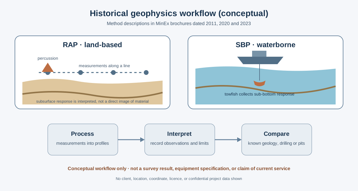
RAP · land-based acoustic profiling
The historical RAP description links measurements along survey lines with geological or drilling controls. In May 2020, MinEx said RAP had not yet been commercially developed and proposed trials to re-prove its effectiveness. That development stage is important context when weighing the method.
SBP · sub-bottom profiles beneath water
MinEx brochures describe SBP profiles used to examine changes beneath a riverbed. A useful interpretation draws on survey coverage, acquisition conditions, signal penetration, the interpretation itself and suitable comparison data.
02A river-survey example
In its SBP brief, MinEx records a contrast between the plan view, which shows no below-bed features, and the profile, which shows at least three depressions.
Historical method brief · May 2023 · MinEx Geophysics SBP brief, printed p. 2 · Plan-view/profile comparison recorded in the brief.
03What a current technical statement needs
For a current survey assessment, define the method and equipment, acquisition conditions, scope, calibration and quality records, comparison data, uncertainty and any project or image permissions. Those details make a present-day technical statement specific and reviewable.
A profile is one part of the evidence. Read alongside suitable geological controls and other records, it can help frame the next question; its contribution depends on the agreed scope and supporting data.